

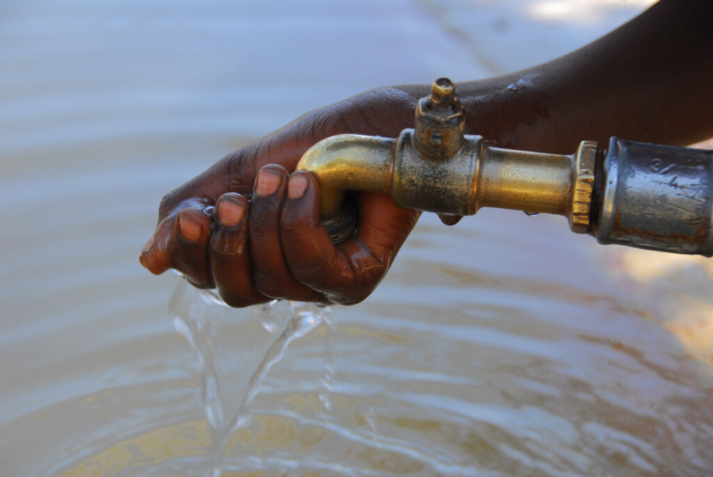
Ouarzazate, Morocco – In a bold fusion of artificial intelligence and environmental science, a team of Moroccan researchers has developed a cutting-edge AI system aimed at tackling one of the country’s most pressing ecological crises: groundwater depletion in its ancient oases.
Unveiled at the International Congress on Oases and Date Palm (CIO) held May 22–23 in Ouarzazate, the research offers a powerful new tool for identifying groundwater recharge zones in data-scarce, arid regions like Morocco’s Middle Draa Valley, an area facing acute water stress.
At the centre of the project is Adil Moumane, a researcher at Ibn Tofail University in Kenitra, who leads the initiative. His team’s work marks a pioneering use of machine learning and deep learning applied to geospatial data, technology rarely used in such dry, resource-constrained regions.
“We use Geo AI to identify areas where we can build structures to collect rainwater,” Moumane told Morocco World News, explaining how the model integrates satellite imagery with environmental variables to pinpoint ideal infrastructure locations.
By analysing ten key environmental factors, such as soil permeability, elevation, vegetation cover, and rainfall patterns, the system delivers high-precision mapping of areas where rainwater harvesting or artificial recharge structures would be most effective.
In the drought-prone region of Zagora, for instance, the model confirmed significant declines in groundwater levels, underscoring the urgency of timely, data-driven solutions.
Among the six machine learning models tested, the AI system found LightGBM, a gradient boosting framework, to be the most accurate, achieving a 90% success rate in predicting viable groundwater recharge zones. The most influential variables? Soil conditions, elevation, and proximity to water channels.
“This research pioneers the application of machine learning on geospatial data for groundwater mapping in data-limited contexts,” Moumane said.
The innovation comes at a critical moment. Morocco’s oasis regions, long the lifeline of southern communities, are under severe threat from climate change, population shifts, and unsustainable agriculture. As aquifers dwindle, traditional communities are forced to adapt or migrate.
Ironically, even as parts of southeastern Morocco faced extreme rainfall during the 2024–2025 season, much of that water was lost due to inadequate infrastructure. Moumane believes this paradox, flooding amidst water scarcity, can be resolved through smarter placement of water capture systems.
“While sudden floods cause damage, they also represent precious water that could be captured if we had the right infrastructure in place,” he said.
This AI-powered framework offers a way forward, not just for Morocco, but potentially for other arid regions worldwide. The modular system can be adapted to different landscapes, making it a scalable solution to a global water crisis.
With mounting environmental pressure, conferences like CIO are becoming essential platforms for turning scientific breakthroughs into real-world solutions. For Moumane and his team, the goal is clear: equip local authorities with data-backed tools to make smarter decisions before investing in costly water infrastructure.
As the planet warms and drylands expand, this fusion of AI and earth science could hold the key to preserving fragile ecosystems and the communities that depend on them, for generations to come.